The River that Kingston upon Thames is on is a huge historical marker. It acts, as has always done, as a boundary and a highway. The industry, trade and travel upon it has gone, and now replaced by leisure and tourism. With the lack of human interaction wildlife habitats have flourished which we cherish, as long as they don’t get in the way of progress. But the river remains a huge inconvenience for us. It is a barrier. We are funnelled across bridges to get from one side to the other. Kingston Bridge, Hampton Court Bridge, Richmond Bridge, all get regular traffic problems having to cope with the sheer weight of traffic being channelled across them.
We go out of our way to get to the bridge adding a whole chunk of time onto our journeys. If there is a problem on the roads over the bridges or the roads leading to then, the whole system seizes up. I’ve spent many an hour in traffic queuing waiting from my slot to cross from North to South and vice versa. On occasions have suffered gridlock.
This is a barrier, a boundary, and has been for millennia. There is evidence for ancient trackways traversing the Thames. It separated peoples, creating different cultures, identity’s, tribes. It still does today. Are you from the North or South London?
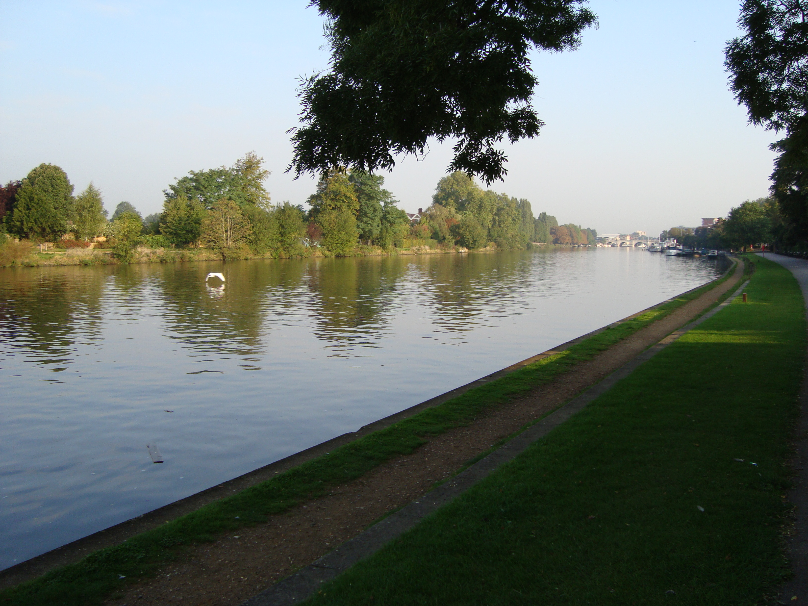
In prehistory, by which we generally mean before the Roman period, the banks of this stretch running from this Kingston area to London were a series of gravel islands, water inlets and small rivers. You can see this in the landscape today. Either side of the River is low lying and subject to flooding. These areas weren’t habitable, not ideal for settlement. There is some evidence for “settlement” in the Mesolithic, but that wouldn’t be settlement as we think of it, more of temporary settlements, perhaps seasonal when the conditions were good for living by the River and catching salmon.
It wasn’t a desolate, barren landscape though. The River has always been a route for travelling and transporting goods, as any sizeable river would be. Even without settlement, there were crossing points, places that were good for mooring and off-loading bots, which would be connected with other routes going inland. There’s not much point mooring your boat if you can’t transport you good any further.
I like the idea that the River Thames and the areas either side created a neutral zone. The land was useless, so nobody owned them as such. The river itself would have kept moving, transitioning. Unlike other boundaries, rivers change. The power of them, erodes the outer bends, depositing material in other parts, meandering and creating meanders. It is always in a state of flux. It is not until the human need of stability arrives that imposes a river walls and flood defences, trying to control the flow of the river. To settle in this area would have been precarious to life, to say the least.
The power of water, rivers, the sea, can be over-whelming, physically and emotionally. There is also a spiritual essence about them. In the archaeological records you will always find evidence for prehistoric religious connections with water. Perhaps it is where the gods, or the ancestors lived. Maybe a route to the other world, the after-life. This is born out in wells, peat bogs and lakes. The Thames has produced many a “votive” offering. Famously there is the Battersea shield and the Waterloo Helmet. The helmet is a good example of a religious, votive offering. It is highly ornate, with horns (unusual) and uselessly made of bronze. As the British Museum says, “Being made from thin bronze sheets it would have been too fragile for use in battle.” Know expression “useful as a chocolate teapot”?

A bit further upstream from Kingston, bronze age spear heads have been found, perhaps deposited, or washed down the river after being deposited. Damaged bronze swords have been found in the Thames at Kingston which is an indication of a ritual object. As with people who pass over to the next world, their body ceases to operate, so to do objects when they travel to the next world; they need to be broken. A bit further downstream towards Twickenham, some amazing stone maceheads were found. These were made out of precious materials and polished. It would have required a huge amount of time and skill to polish these tools. They would have been precious. The train of thought is, yes they could have been used as tools, but they were more likely symbols of power, for an individual or a family. Such symbols could have been deposited along with a burial, or given to a god or ancestor. Don’t underestimate the power of belief interlinked with water. Too much or too little water would have been disastrous. It still is today.

It would make sense have such an uninhabitable and religious area as a neutral zone, where peoples could meet, worship, and interact without fear of attack. Again, not a barren desolate place, but one where a thriving religious ceremony took place. For anyone to invest in items like the Helmet or Battersea shield and then throw them into the river, I doubt it would have been done under the cover of darkness, in a lonely and abandoned place.
An event we know of, although much after the prehistoric period, in 1215, was when the infamous King John and the just as even infamous barons met in such a place at Runnymeade. They could not physically bring their armies to the meeting place. Two years later the same sides met again, with different figure heads, and agreed the Treaty of Kingston on an island called Ravens Ait. This was one of the many gravel islands that was small and only accessible by boat. These aits in the Thames are quite temporal being made of gravel. The currents of the river shift their positions and change their shape. Ravens Ait is still present, now firmly shored up with cast iron, but it still only accessible by boat. It is a wedding location, which makes me smile, thinking of two opposing, warring sides coming together on neutral ground to form a treaty.
The bridge at Kingston was put there in the early 1200s. It was probably a crossing point before then. This would be a place where the river was wider, so the water shallower and flowing with less energy and speed. This makes it much easier to cross. There is the theory that London was established where it is because the London Bridge area was also a natural crossing point. The present London Bridge is not far from the very first London Bridge. Soon after the AD 43 Roman conquest, a bridge was built, linking south and north Briton. On the banks at his point, people began to settle and live on the edges of the Thames. These were not Britons though, but international traders, possibly Gauls. Trade flourished, attracting people, land was infilled, claimed, made habitual and attracted value. But the river continued as a boundary.
Kingston Bridge, or rather the crossing point at Kingston that became Kingston Bridge, made Kingston. For hundreds of years after it was built, there were only the two bridges that crossed the River Thames on this stretch; Kingston and London Bridge. This is important. Such a bridge was economic geo-politico infrastructure. Like us, people would have to go out of their way to cross the river and pass-through Kingston. Even armies have gone out of their way to avoid London Bridge, curved south and headed for Kingston.
For the economy, the Bridge and the town became self-perpetuating. The bridge made the town important, the town made the bridge more desirable to cross. No wonder a marketplace grew up there, along with royal charters and trade guilds. That legacy of trade has continued. It is still a market town. A place where people form far and wide will go to shop. To buy goods in Kingston has kudos. All the high-brow, desirable stores have located there. The town invests in its retail infrastructure. Putting the future of the shopping centre aside for one moment, Kingston still has an experience that you don’t get online. Unlike many town centres, I think it will survive.
References
The Battersea Shield and Waterloo Helmet is featured in this excellent blog:
https://blog.britishmuseum.org/dirty-old-river-secrets-of-the-thames/
The items found in Kingston are featured in featured on the Kingston Museum website. Alternatively, you could go and visit

I live close to an international river boundary and am so conscious of how it physically and historically defines the land around. I love the idea of neutral marsh lands and was astonished by the polished axe heads in the British Museum site.
LikeLiked by 1 person
I hadn’t appreciated it either. Especially the north and south London cultures. Only put two and two together recently.
LikeLike